

- From Landscape to Domain: Soils Role in Landscape Classifications (S Salley, J Brown) - Soil landscape classifications are designed to divide landscapes into units with significance for the provisioning and regulating of ecosystem services and the development of conservation plans for natural resources. More specifically, such classifications serve as the basis for stratifying management strategies relevant to any given ecosystem’s biotic and abiotic properties. The purpose for delineating resource units is to identify geographical areas at different levels of resolution that have similar capabilities and potentials for management. As soil variability is scale-dependent in both space and time, it is important to understand spatial and temporal variables controlling soil and ecosystem function at specific scales of interest.
- Testing Land Resource Area Concepts (S Salley, C Talbot, J Brown) - The NRCS’s Land Resource Regions (LRRs), Major Land Resource Areas (MLRAs) and Land Resource Units (LRUs) are used to guide programs and practice applications based on geographical areas where resource concerns, problems, or treatment needs are similar. While the art and science of resource area mapping has advanced significantly in the past several decades, the NRCS’s regionalizations have typically lacked suitable quantitative foundations in defining resource area concepts.
- Ecological Site-based Assessments of Wind and Water Erosion - Informing Management of Accelerated Soil Erosion in Rangelands (N Webb, J Herrick, M Duniway) - Land use change and intensification have resulted in accelerated rates of soil erosion in many areas of the world’s rangelands. Ecological models of landscape change provide a framework for assessing when erosion controls are modified by land use or management in excess of their natural variability, enabling quantification of accelerated soil erosion.
- Pedoderm and Patern Classes (L Burkett, B Bestelmeyer, A Tugel) - Pedoderm and Pattern Classes (PPCs) describe the soil surface features and plant patterns that influence ecosystem function (how a site responds to management and natural drivers). PPCs integrate observations of multiple attributes and indicators. They supplement observations of plant communities and soil profiles, providing information that is otherwise costly to gather. PPCs can be assessed quickly during inventory, soil survey or monitoring.
- Toward Broad-scale Perspectives on Ecological Dynamics: The National Ecological Dynamics Database (J Williamson, B Bestelmeyer) - Ecological site descriptions help to communicate and evaluate ecosystem function and services at local scales. The National Ecological Dynamics Database (NEDD) is a complementary information system, providing similar utility at the scale of NRCS Major Land Resource Areas (MLRAs). The NEDD is a work in progress and will be made available on the Jornada website in late 2012.
- Data Support for a State-and-Transition Model: What Have We Learned? (B Bestelmeyer, D Briske, M Fernandez-Gimenez, X Wu) - State-and-transition models (STMs) are used to describe the possible vegetation dynamics for an ecological site. Vegetation dynamics include succession and disturbance-caused shifts among plant communities as well as state changes that are unlikely to be reversed within several decades, if reversal is possible at all. STMs integrate several information sources into a STM diagram and narratives, which are housed within an Ecological Site Description (ESD) document by the USDA Natural Resources Conservation Service.
- Principles of Ecological Site Development (P Shaver, B Bestelmeyer) - Broad overview of principles and approaches - developing ESD concepts at the regional scale, grouping soil properties into functional units, developing State and Transition Models, testing, refining and correlating ecological sites.
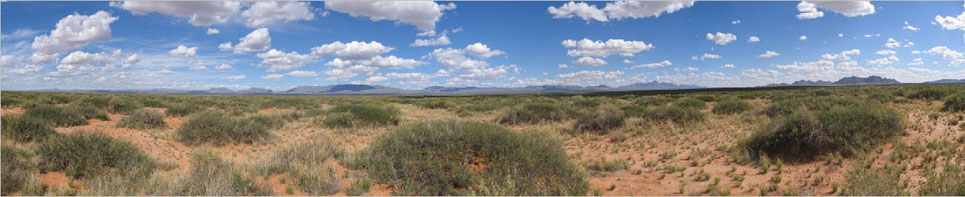
- What is an Ecological Site Description? Historical Development and Emerging Science (B Bestelmeyer)