|
NRCS major land resource areas and land resource units |
|||
 |
 |
||
|
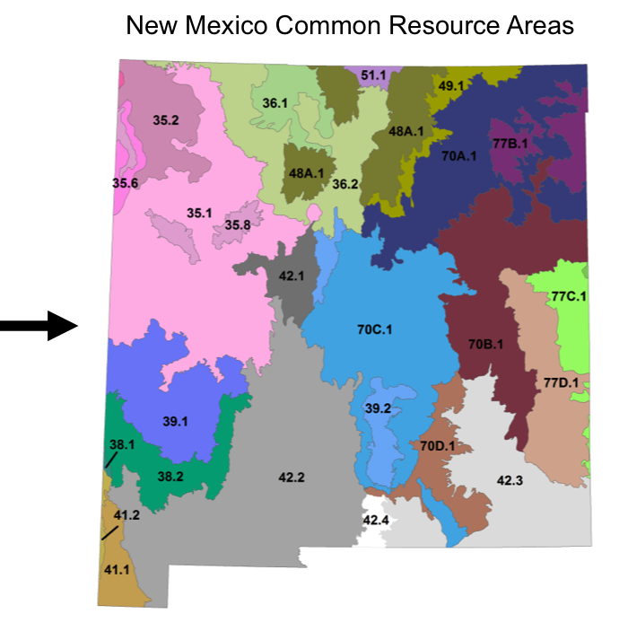
It is helpful to understand land classification levels above ecological sites that contain sets of spatially-associated soils and ecological sites. NRCS divides the Unites States into Major Land Resource Areas (MLRAs). An MLRA consists of a set of geographically associated land resource units featuring a particular pattern of soils, water, climate, vegetation, land use and type of farming (USDA NRCS 2006). Land Resource Units (LRUs) and Common Resource Areas (CRAs) are similar. LRUs are created by subdividing MRLAs by resource concerns, soil groups, hydrologic units, resource use, topography, other landscape features, and human considerations affecting use and treatment needs (USDA NRCS 2006). An LRU typically contains a set of climatically-similar soils and ecological sites. |
|||
|
|
 |
||
Quick links:
|
|||