 The use of ecological site descriptions (ESDs) for rangeland management and extension activities in Mongolia was initiated through interactions between several government institutions and non-governmental organizations1. Interactions with the Jornada began in 2006 and were focused on establishing repeatable field-based monitoring and assessment methodologies for the evaluation of rangeland health.
Following the adoption of new nation-wide long-term monitoring methodologies in 2011, attention turned to the development of a framework for interpreting the broad-scale assessment and monitoring data and linking those interpretations to local management and restoration.
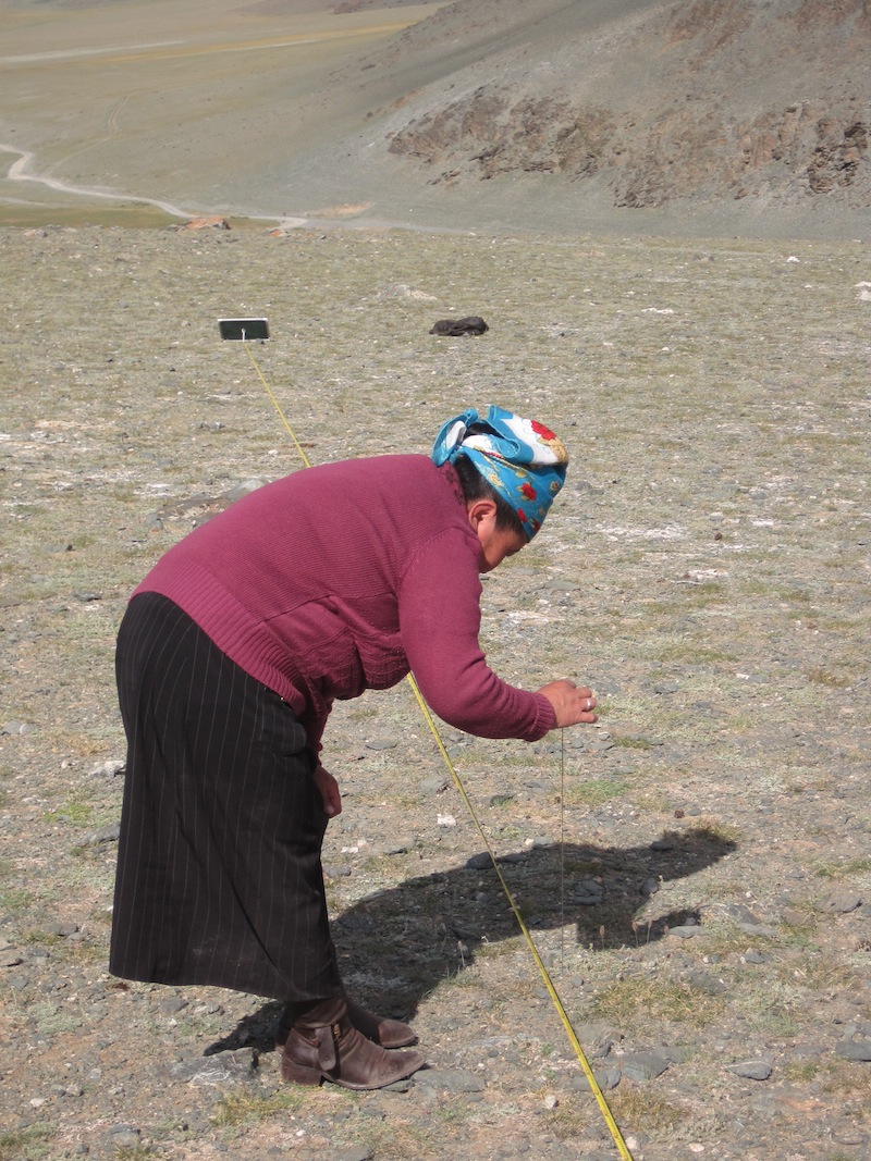
From 2009-2014, partner ministries alongside Green Gold conducted training and data collection in major ecoregions to develop ecological site concepts and state-and-transition models (STMs). These efforts led to the definition of 22 ecological site groups and corresponding STMs, the drafts of which are an Appendix in the National Report on the Rangeland Health of Mongolia. Complete ESD documents and simple user’s guides, an example of which can be found in the report, are currently being developed.
Our efforts are now focused on the use of ESDs within local (soum) governments and pasture users groups (PUG) for resilience-based rangeland management. This approach focuses on enabling managers and herders to identify management problems and to recommend, implement, and adapt solutions to those problems at the local level. These local efforts will be coordinated with national efforts to use ecological site information for interpretation of monitoring data.
Below are several presentations and documents illustrating the evolution of this project.
- Ecological Site Inventory of Mongolia A statistical assessment of plant community variation by natural zone (Brandon Bestelmeyer, Jeb Williamson, Densambuu Bulgamaa, Ulambayar Budbaatar, Ankhtsetseg Battur, Justin Van Zee, Ericha Courtwright, Laura Burkett) 16 June 2014, in Ulaanbaatar, Mongolia
- Resilience in Mongolian rangelands (Brandon Bestelmeyer) 16 June 2014, in Ulaanbaatar, Mongolia
- A new approach for reporting desertification: recovery classes (Brandon T. Bestelmeyer, Bulgamaa Densambuu, Budbaatar Ulambayar, Ankhtsetseg Battur) 16 June 2014, in Ulaanbaatar, Mongolia
- An attempt to foster resilience-based management in Mongolian rangelands (Brandon Bestelmeyer, Bulgamaa Densambuu, Justin Van Zee, Ericha Courtright, Patrick Shaver) 10 December 2013, in Perth, West Australia
- Land assessment and monitoring component: history and plans for GG4 (Bulgamaa Densambuu) 2 August 2012
- Монгол орны бэлчээрийн экологийн чадавхийн судалгааны урьдчилсан: дүнгээс: Экологийн чадавхид суурилсан бэлчээрийн эрүүл мэндийн мониторингийн үзэл баримтлалыг Монгол орны нөхцөлд ашиглах боломж (Улаанбаатар - Д.Булгамаа Bulgamaa Densambuu, Жастин Ван Зий Justin Van Zee) 5 December 2011
- Ecological Site Descriptions and their Applications (Brandon Bestelmeyer) 5 December 2011, in Ulaanbaatar, Mongolia
- Development of a Cooperative Monitoring and Assessment Framework for Pastureland Health Mongolia: Opportunities for New Synergies? (Jeff Herrick and Brandon Bestelmeyer) 28 July 2009, in Ulaanbaatar, Mongolia
- Monitoring and Assessment Design and Interpretation Using Ecological Sites and State and-Transition Models (Brandon Bestelmeyer) 17 February 2009, in Las Cruces, New Mexico, USA
- National Methods Comparison for Mongolia (Justin Van Zee and Jeff Herrick) 10-12 September 2008, in Ulaanbaatar, Mongolia
1The Green Gold Mongolia program, the Mongolian Society for Range Management (MSRM), the new Ministry of Environment, Green Development, and Tourism (MEGDT, formerly MNET), the National Agency for Meteorology and Environmental Monitoring (NAMEM, within MEGDT), the Institute for Meteorology, Hydrology and Environment (IMHE, a unit within NAMEM), the Administration of Land Affairs, Geodesy and Cartography (ALAGaC, a.k.a the Land Agency), the Ministry of Food and Agriculture (MoFA, formerly MOFALI), and research units including Research Institute of Animal Husbandry (RIAH) and the Institutes of Geoecology and Botany, Mongolian Academy of Sciences.